Loading cart contents...

Regrid Spots
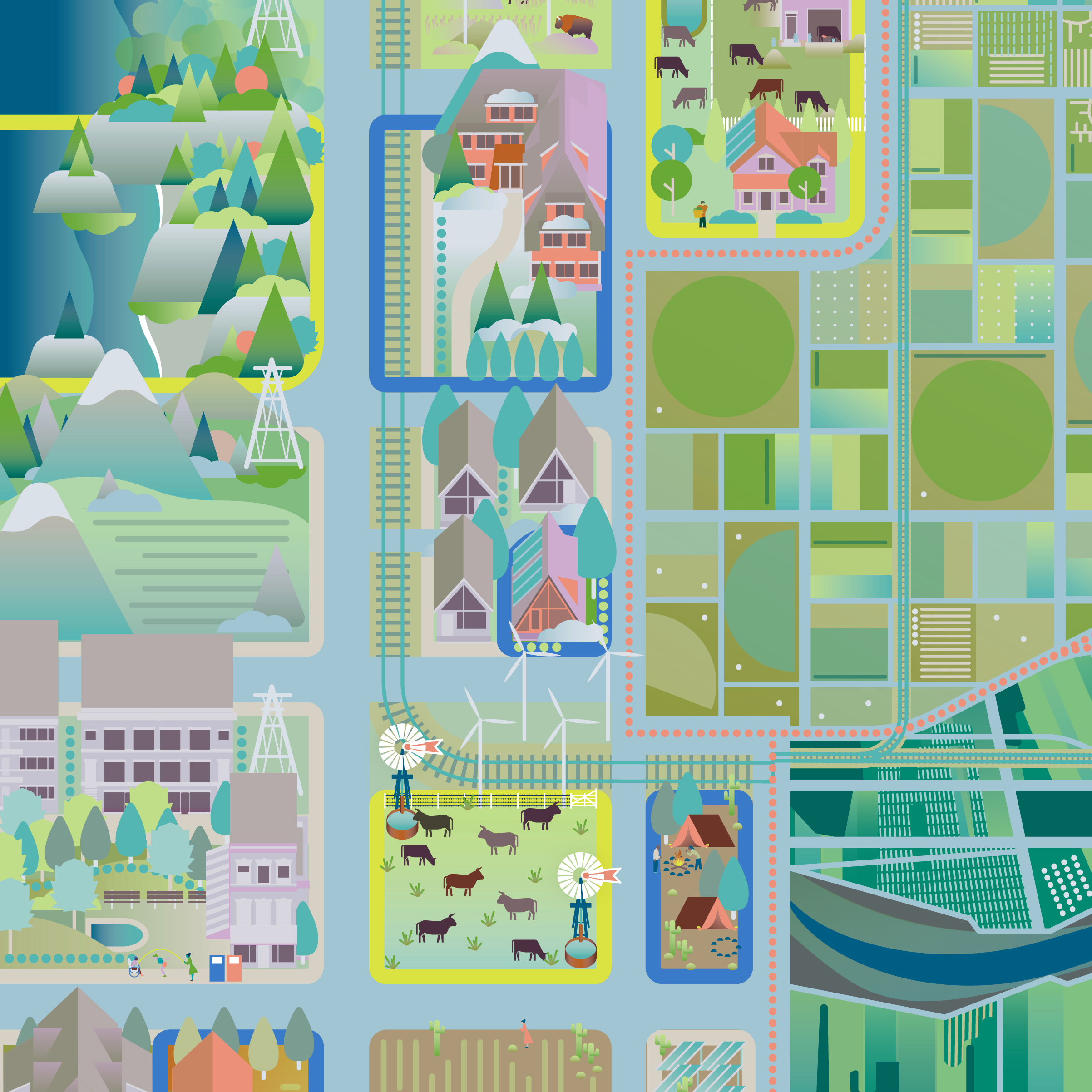
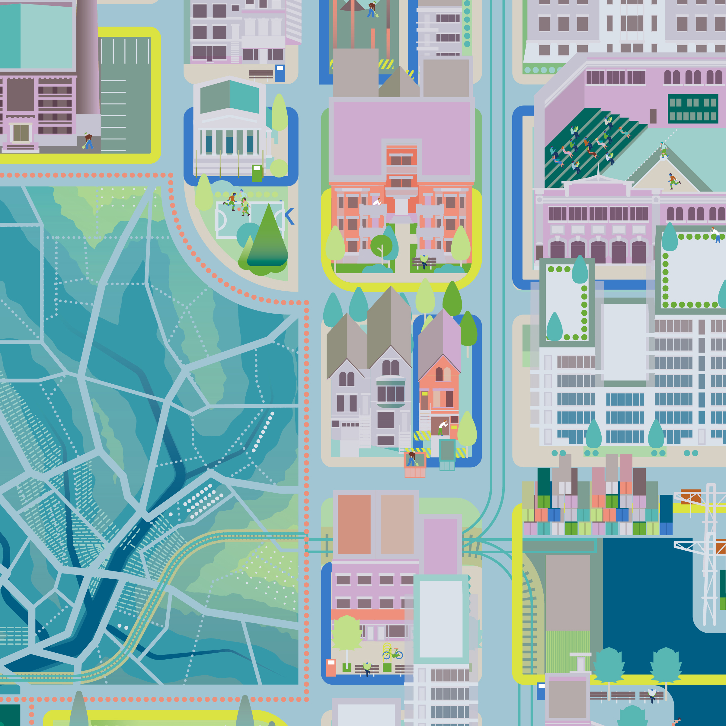
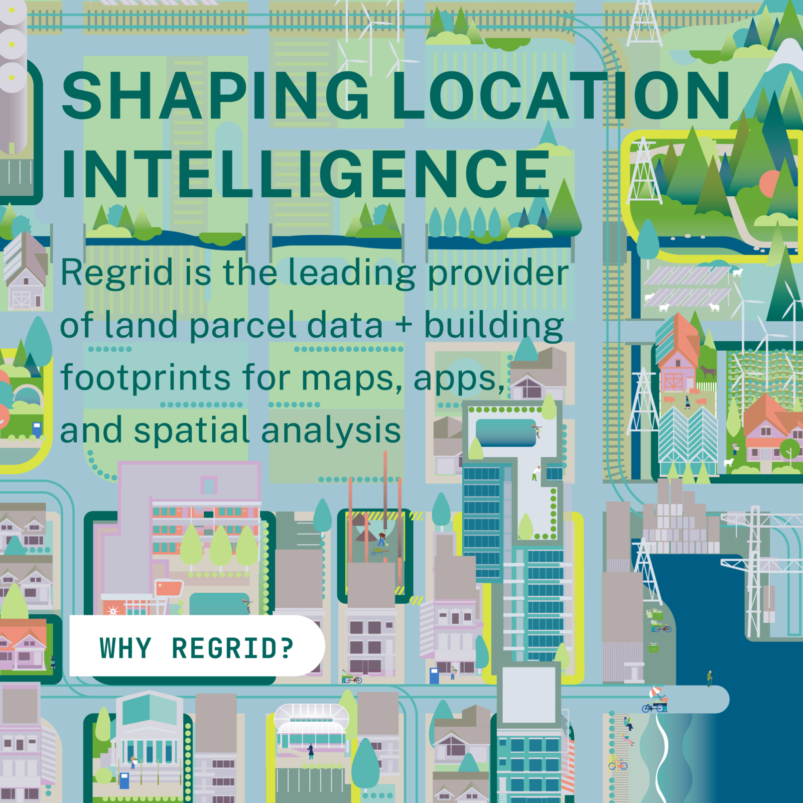
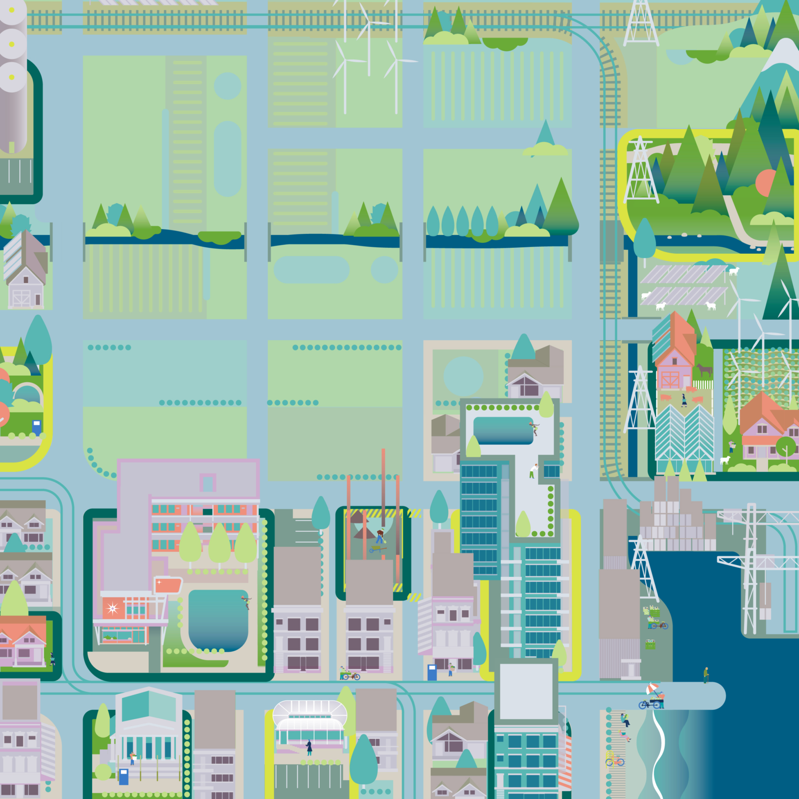
Showing Parcel Data in Action
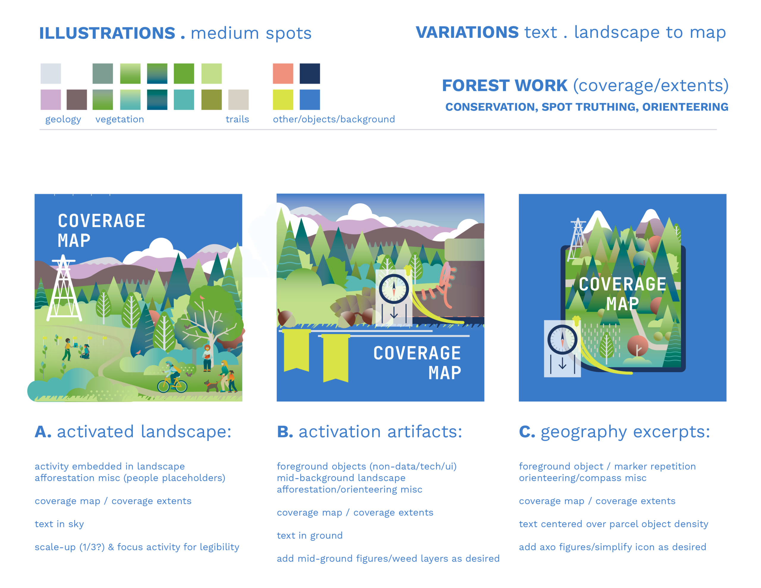
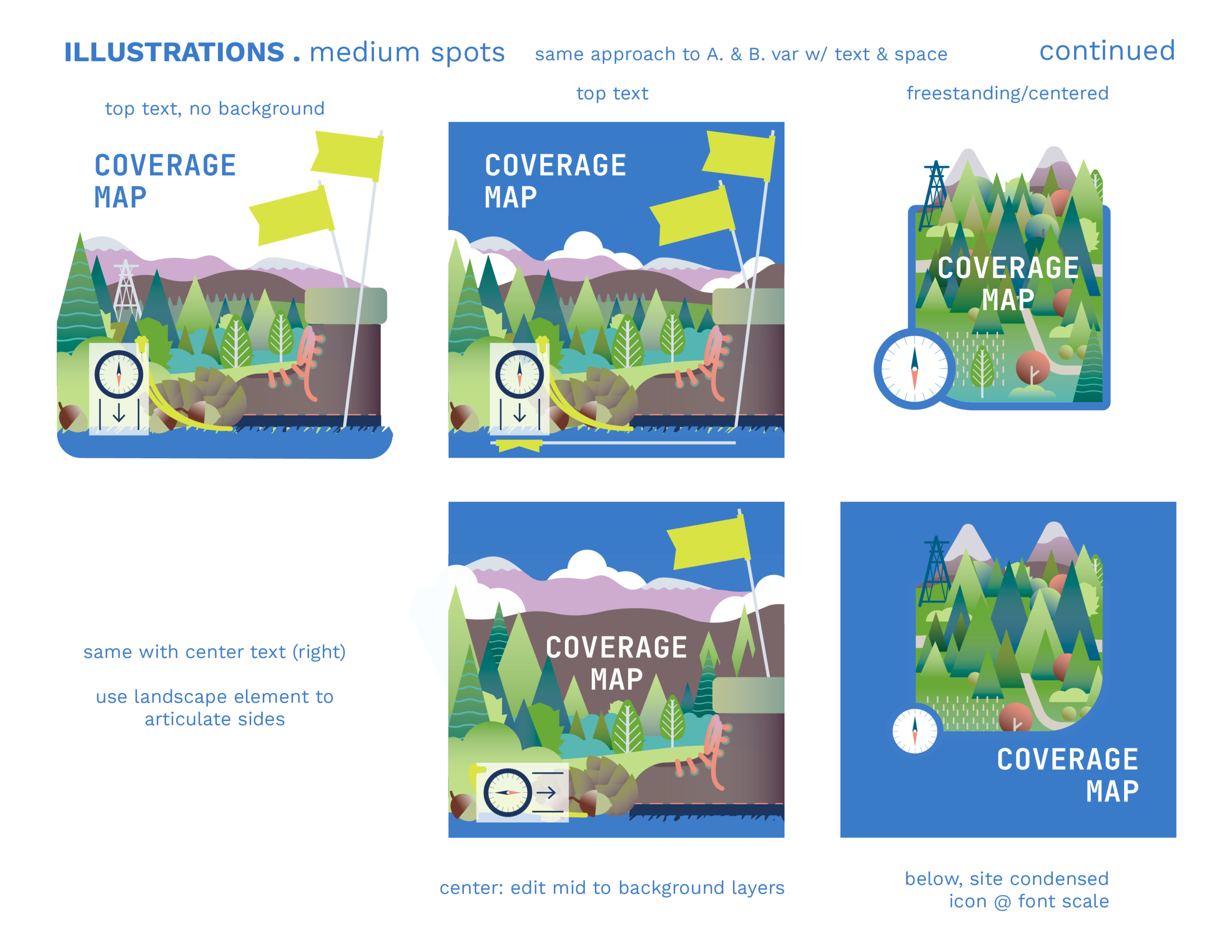
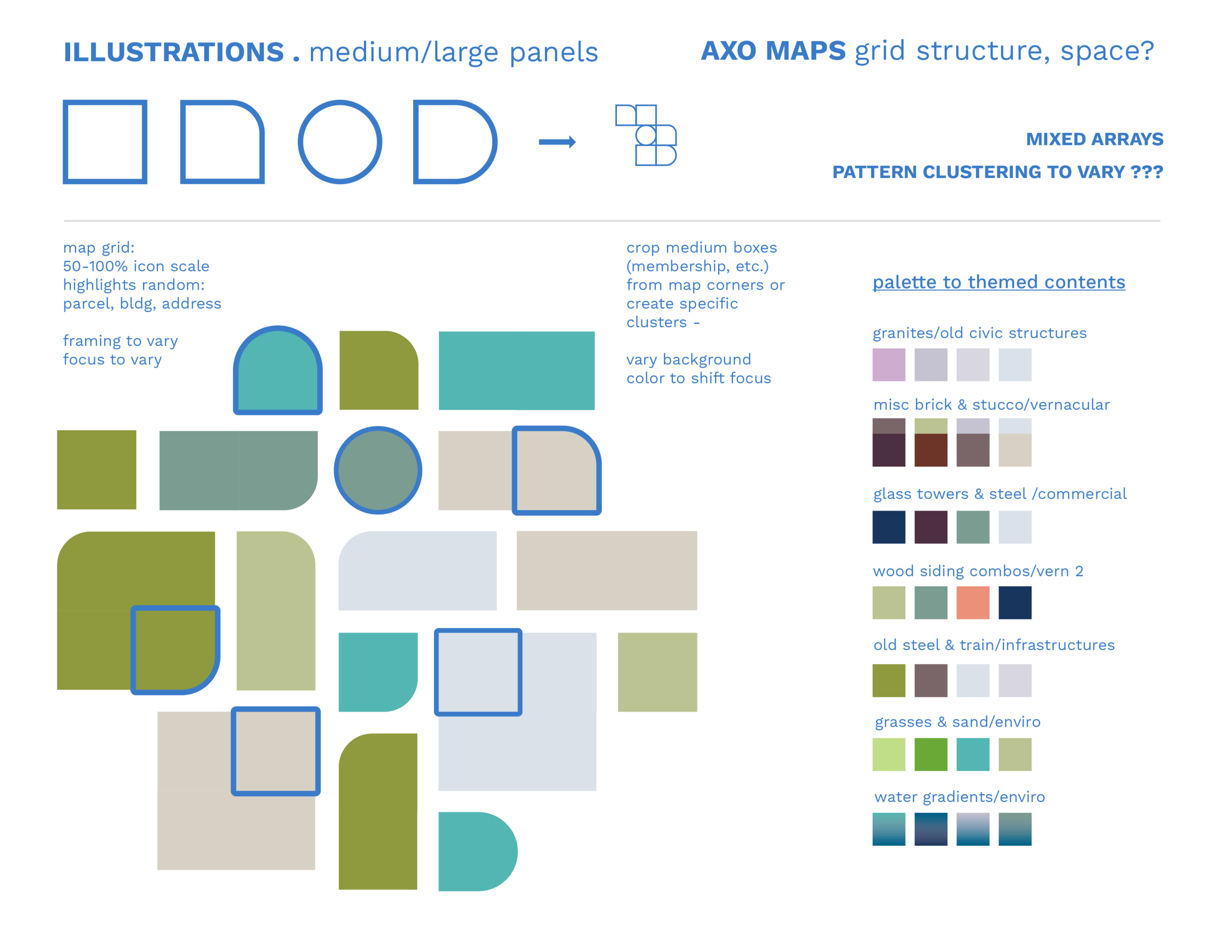
Regrid provides a nationwide dataset of land parcel boundaries and building footprints. These illustrations were commissioned for their website relaunch in July 2021; featuring parcel data extents (maps patterns) and uses (scenes of orienteering, construction, planning, etc.).
Deliverables
- 8 small spot illustrations (3 var each)
- + scenes of data use & landscape patterns
- 1 medium & 1 hero illustration
- + landscape patterns & cartography
Client
- Regrid/Loveland Technologies
- 440 Burroughs St, Suite 672
- Detroit, MI 48202


 regrid-text_half-page
 regrid-notext_half-page